Impact: Infrastructure Reuse
Adaptive infrastructure reuse is an important component of the work of the Downtown Greenway to decrease environmental impact and repurpose existing structures.
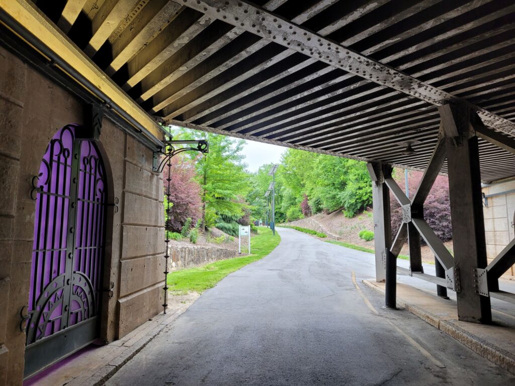
Over.Under.Pass. at Morehead Park
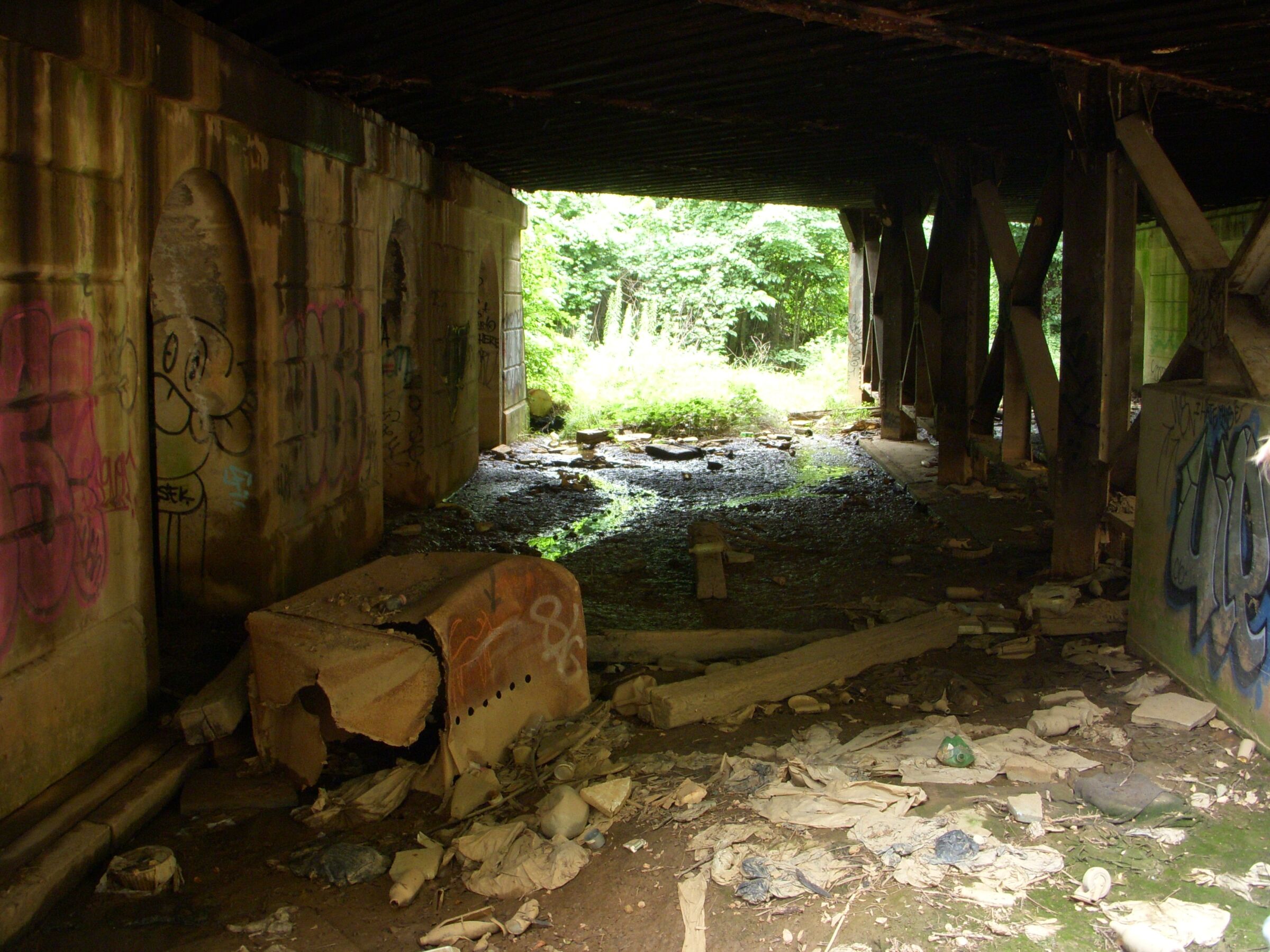
A North Carolina railroad trestle operated by Norfolk Southern and abandoned since the mid-1970s has been transformed into a gallery of gates by Sculptor Jim Gallucci, with interactive lighting effects designed by Scott Richardson of Light Defines Form.
Funded in part through a Mayor’s Institute on City Design’s 25th Anniversary Initiative grant from the National Endowment for the Arts, this project has two major components. First, the iron gates designed by Gallucci were inspired by decorative details on the art deco-style Southern Bell Building built on nearby Eugene Street around the same time as the underpass in 1928. The other component comprises interactive and colorful lighting created by Richardson to both illuminate the passageway and enhance security. The lighting provides a unique and ever-changing experience, while encouraging movement through the underpass.
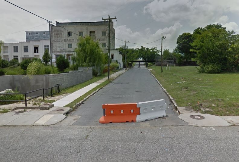
Bragg Street
An underutilized section of Bragg Street between South Elm Street and South Eugene Street now connects the Warnersville and Ole Asheboro neighborhoods with a greenway path lined with planting beds.
When one of two railroad trestles was removed in this area, there was concern about the remaining trestle. Sitting low to the ground, it was subject to damage and an interest from Norfolk Southern to protect this trestle led to the abandonment of this road for vehicular traffic. This opened up the opportunity to re-envision this space as a pedestrian and bicycle corridor. The additional width of the surface allows for special events to be held amongst the many stormwater treatment facilities that have improved drainage in this area as well as provided planting beds for trees and shrubs.
Murrow Boulevard
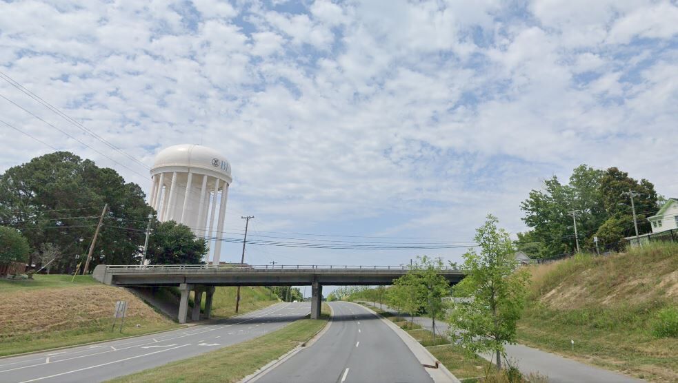
Originally designed as a highway by-pass system around downtown Greensboro, a portion of the system was built in the 1970’s on the eastern side of downtown, but the rest was never completed. This road, Murrow Boulevard, has been an underutilized 6 lane divided highway that has been a physical barrier between East Greensboro and downtown ever since.
The construction of the highway and the topography of the surrounding land has created an unfriendly and unsafe environment for pedestrians and bicyclists. With the development of the Downtown Greenway, Murrow Boulevard is experiencing a road diet with one full northbound lane removed and the two remaining northbound lanes narrowed to accommodate the 12 foot wide paved trail in its place. Landscaping, site furnishings, innovative stormwater treatment facilities and other amenities will create a beautiful, safe, and fully functional transportation system on the east side of town.
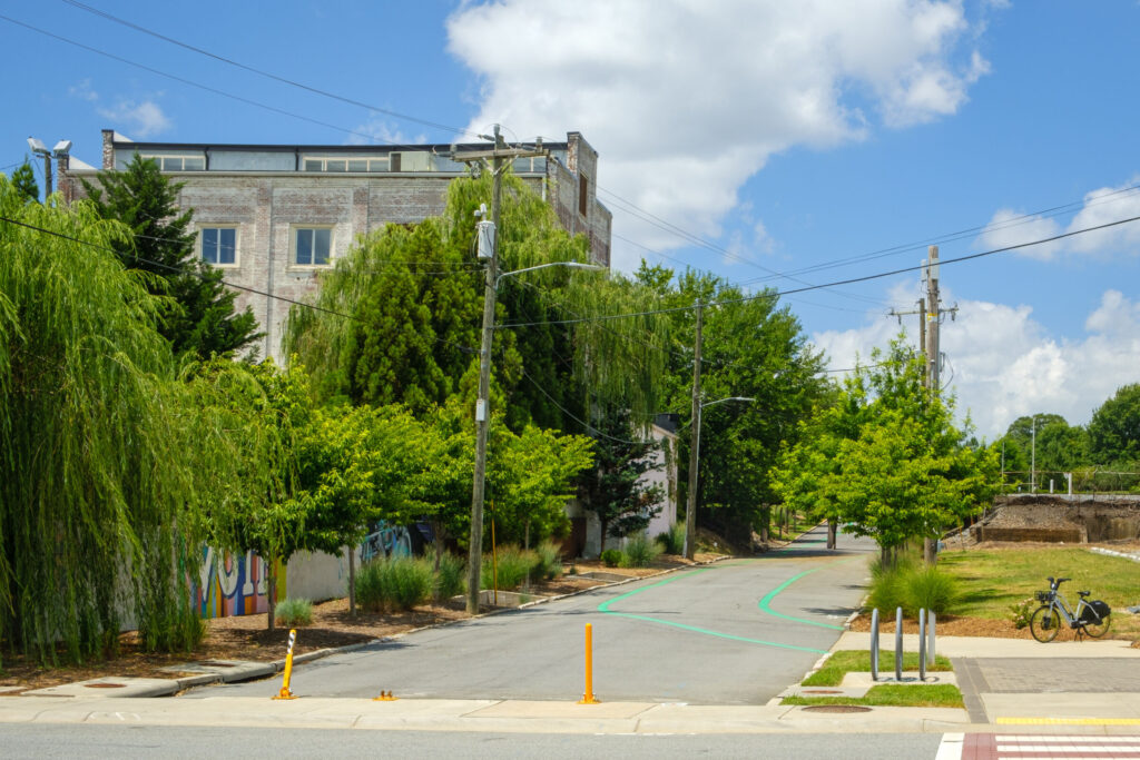
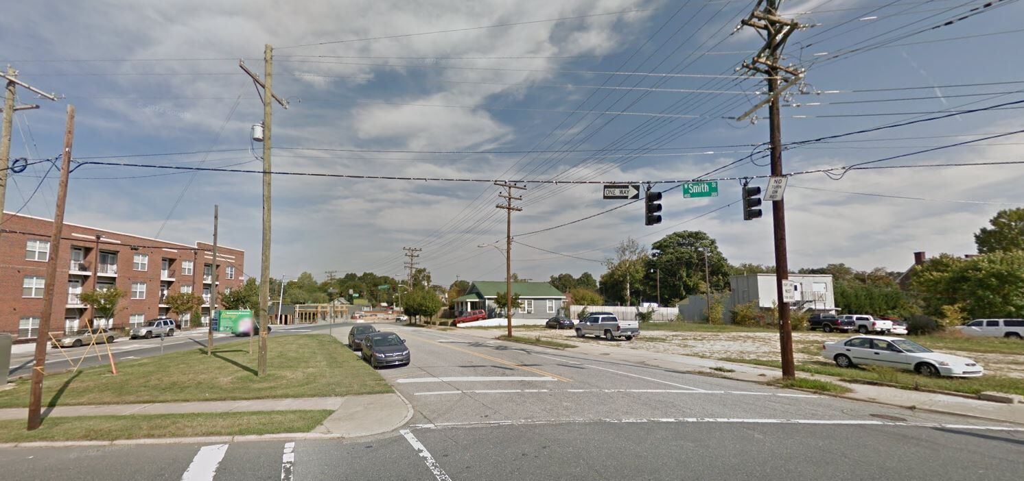
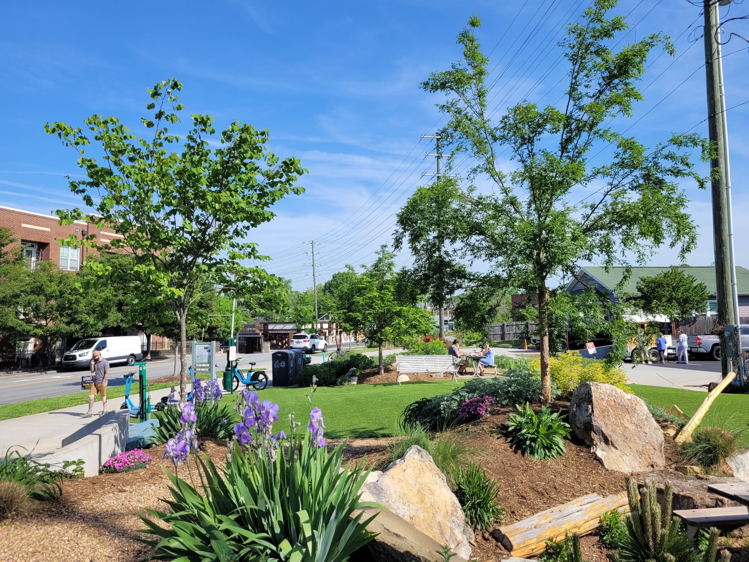
LoFi Park
A neglected and underutilized pocket of land between the Fisher Park neighborhood and downtown Greensboro is now a center of social activity.
A shuttered car dealership with surface parking lots and service warehouses, a used appliance repair shop, and a gas station, is now home to a number of greenway friendly businesses with heavy pedestrian and bicycle use. Two apartment complexes, Greenway at Fisher Park and Greenway at Stadium Park, were built on the former home of North State Chevrolet and have seen high occupancy rates since day one. Deep Roots Market, a locally owned Co-Op grocery store relocated in 2013 as the first grocery store to open in downtown Greensboro in over 30 years. Joymongers Brewing Company was built on the site of a Guilford County owned gas station and takes full advantage of the Downtown Greenway’s LoFi Park made possible by the closure of a small section of Battleground Avenue between Smith Street and Eugene Street.
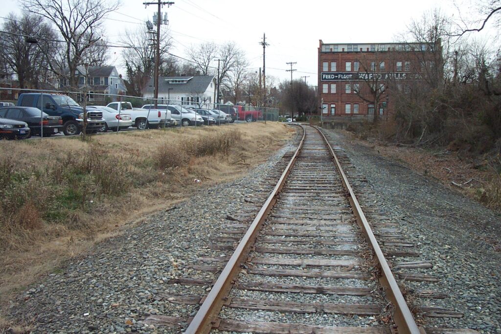
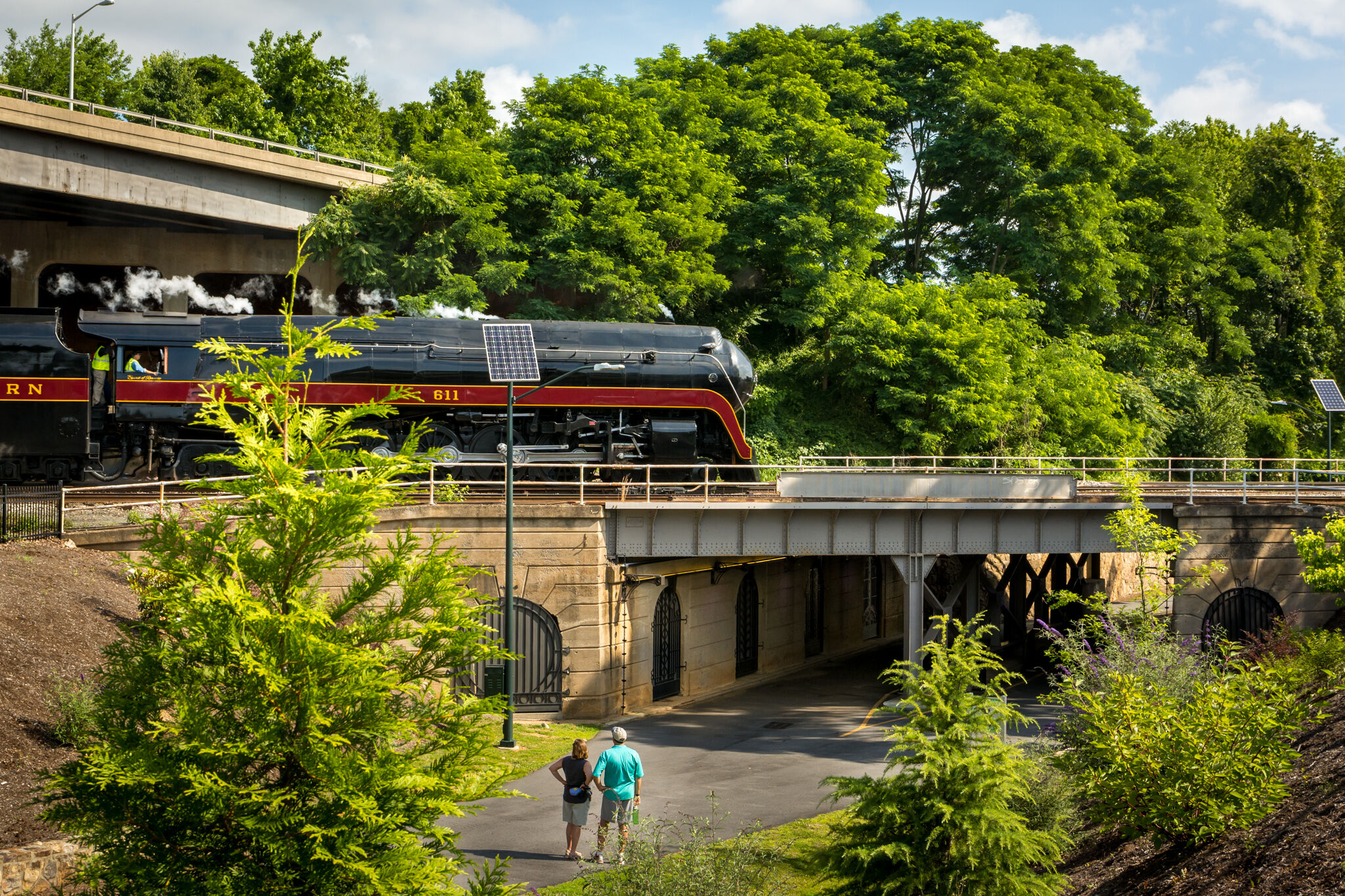
Railroad Corridor
The western side of the Downtown Greenway is a 1 mile stretch of the former Atlantic & Yadkin railway line that traversed from Mt. Airy to Wilmington, carrying much of the granite that can be found in buildings and infrastructure in Greensboro. Portions of the railway line further north were abandoned in the 1970’s and eventually turned into what is now known as the Atlantic & Yadkin Greenway – some of Greensboro’s most well used and loved trails in the northwest part of the city.
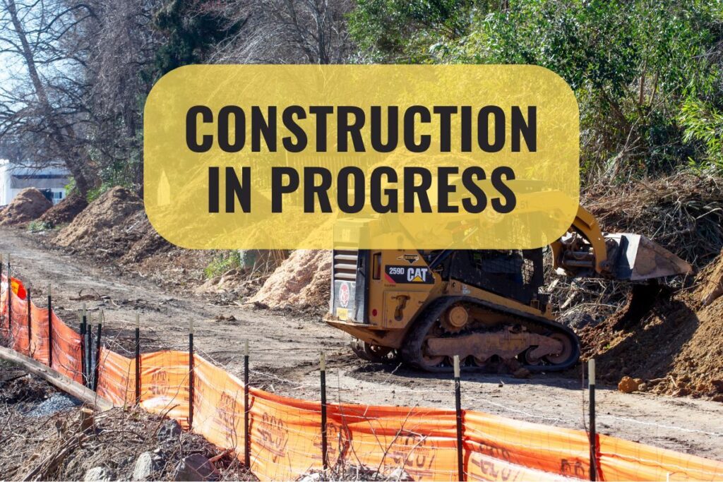
This portion of the Downtown Greenway is a part of a 3 mile section that was never abandoned and was in use as an active line by Norfolk Southern until 2014. In 2019, the City of Greensboro reached an agreement with Norfolk Southern to purchase the rights to install the greenway along the Norfolk Southern Railway Atlantic & Yadkin Railroad corridor under the railbanking provision of the National Trails System Act. The agreement allows for construction of the western segment that runs along the railroad tracks from Spring Garden Street to Smith Street at Meeting Place, the Tradition Cornerstone, and ultimately to Markland Avenue where the existing Atlantic & Yadkin Greenway begins.
When this 3 mile section is complete, The Atlantic & Yadkin (A&Y) Greenway will connect Summerfield, Stokesdale and northwest Greensboro to downtown. The route also connects the Bicentennial Greenway, the future Piedmont Greenway, the Mountains to Sea Trail, the East Coast Greenway and the City’s watershed trail network.